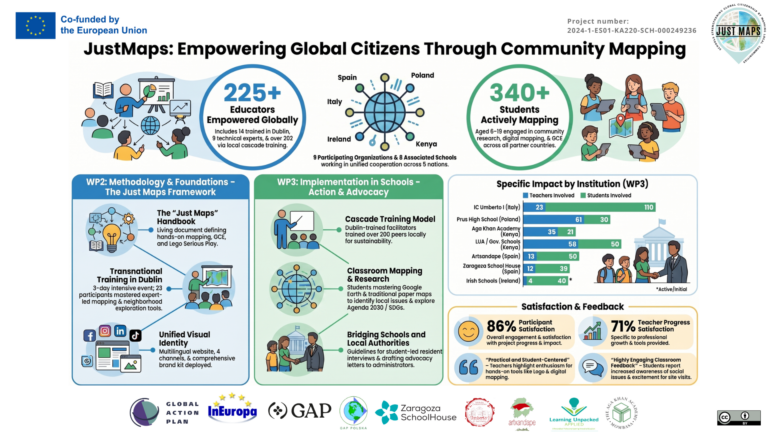
When the 2025 school year began in September, I expected an ordinary school year. I knew I would have more classes than before, as well as an additional subject that did not make much sense to me, but apart from that I was unaware of any other changes compared to the previous grade. Imagine my surprise when I found out that the Bolesław Prus High School was taking part in an international project. It is called Just Maps, and it changed the way I see the world.
The first classes took place in the computer lab. The teachers, along with a representative of the project, introduced us to Just Maps. They explained how the project worked and told us about the other countries participating in it. I had never taken part in anything like this before, so I was excited, especially since the project was about something as interesting as maps.
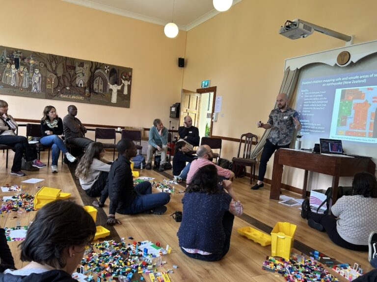
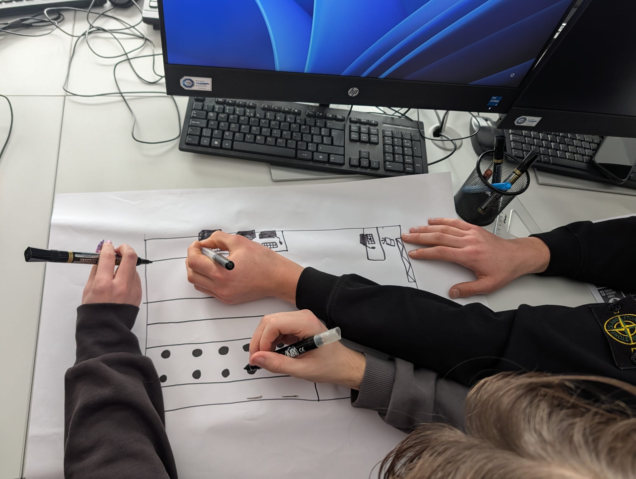
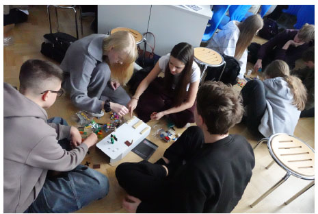
A few weeks later, my class was once again invited in for activities. This time, our task was to create a layout of the computer lab using LEGO bricks. All the students were clearly happy. It was probably caused by their nostalgia for the LEGO bricks from childhood, which, although incredible stimulating for the imagination, were also expensive. We divided
into groups of four, and each group first had to sketch the classroom layout using makers and crayons, and then recreate it with LEGO bricks. We made two versions: one covering half a square meter and another whose area was ten times smaller. That was when we learned that the same area can be represented in many different ways.
Another activity connected with the project was a survey about Saska Kępa. We had to ask its residents about their favorite places, popular landmarks, and interesting stories from their lives in the district. It did not seem difficult at first, but it became complicated because very few students and teachers at Prus actually lived in Saska Kępa. It sounds absurd — students and staff of a school located in a district not living there — but, unlikely as it seemed, this made the task much harder. It meant we had to pair up and then find strangers willing to share their experiences with us. Fortunately, we managed to complete this part of the project and later used it in a presentation, which I will now describe.
For this task, we received the results of another, more detailed survey about Saska Kępa. It included questions about the sense of safety and the cleanliness of the area. In pairs, the same as before, we had to create a presentation that showed the survey results in a clear and understandable way. We achieved this by using colorful charts and photographs that effectively illustrated the places we talked about. We created the presentation in Canva, and on the final slide we included the results of the survey we had conducted ourselves.
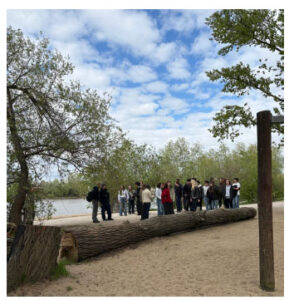
The photos we had taken earlier were placed on the map, which then showed both the positive and negative sides of our district. The next part of the project could be the most exciting. As a whole class, we went to the Vistula River, to an area where there was a playground. We divided into groups of five, and each group received a partially blank map of the area along with sheets of paper containing categories. On these sheets, we had to describe things that already existed and benefited children, teenagers, adults, senior citizens, and the natural environment, as well as things we would like to add. We also had to complete the map and mark the things we wanted to change. About a week after the trip to the river, we presented our ideas in groups, using all the knowledge we had gained
during the project. And now, as I write this article and think about my second year of high school, most of which we spent working on different projects and assignments, I know that I will remember Just Maps forever. If not because of the fun of playing with LEGO bricks, then because of the way it taught me to look at the world.
Magdalena Budzyńska
May 2026